1. Home
  2. Antiquity
  3. Roman Wars in Germania
  4. Teutoburg Forest

Battle

Teutoburg Forest

autumn AD 9

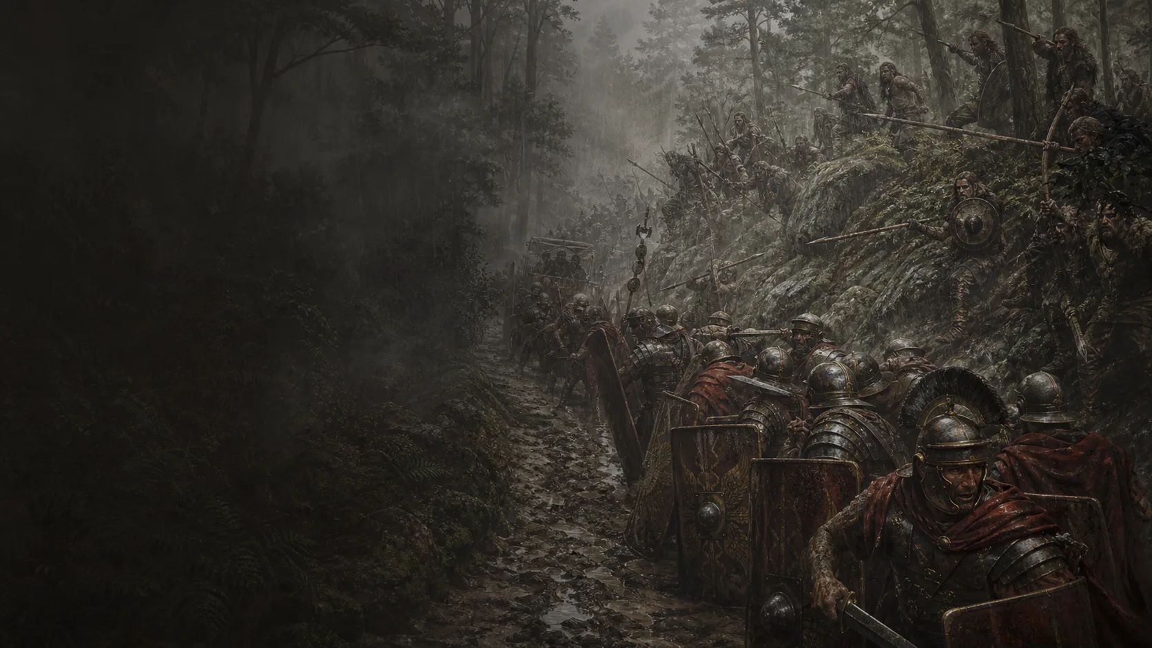
In 9 CE, a diverted Roman march disintegrates in a corridor of woods, slopes, and wetlands.

Military history

Why can an army of three legions not fight as a single force?

In AD 9, Arminius leads a coalition against Varus’s army. The Romans march with their baggage and non-combatants; repeated attacks, the terrain and rain prevent them from forming a united front. Three legions are lost. Kalkriese provides a major archaeological anchor, but neither the full route nor every stage of the disaster has been located.

A Germania still administered in stages

Dio describes recently subdued districts, winter quarters, and towns beginning to form; Varus accelerates administration and taxation. Wolters's synthesis stresses that this Roman presence did not turn the Germanic peoples into a homogeneous bloc.

The detour and the warning

Arminius, who had served Rome, prepares a coalition. Velleius reports Segestes’ warning; Dio describes a revolt intended to draw Varus away from his secure route.

A stretched column, an impossible line

Baggage, animals and non-combatants stretch out the march. Road works and attacks disperse the soldiers further: total numbers do not translate into force available at every point.

Kalkriese: a strong anchor, an open sequence

Kalkriese documents a major engagement. The 2026 archaeological assessment associates the finds with the 19th Legion but leaves the local form of the fighting open. The complete route and the sequence of days remain disputed.

Military history

Sources

Ancient primary source close to the eventsVelleius Paterculus, Historia Romana, livre II

II.117.1–120.5, traduction F. W. Shipley sur Livius ; §§117–118 pour Arminius, Segestes et la composition des forces, §119 pour l'encerclement et Varus, §120 pour Aliso et Asprenas

Plot, Segestes's warning, the three legions XVII–XVIII–XIX, cavalry and cohorts, Varus's death, Aliso, and Asprenas's response. A close but elliptical and rhetorical account.

View ↗
Late ancient primary source, scholarly editionCassius Dio, Roman History, book 56

56.18.1–24.6, surtout 56.18.1–19.5 pour la révolte et le détour, 56.20.1–22.2 pour le terrain, le train, la météo et la défaite, 56.22.2a–24.6 pour les forts, Aliso et la réaction rhénane ; transcription Loeb 1924 sur LacusCurtius

The most continuous causal sequence: the army drawn into the march, trees and roads, ravines, woods, wagons, successive attacks, storm, Varus's death, Aliso, and immediate consequences. A late source to be compared with earlier testimony and archaeology.

View ↗
Indirect ancient source, scholarly editionTacite, Annales, livre I

I.60–62, surtout I.61–62 : campagne de Germanicus en 15 apr. J.-C., camps de Varus, chaussées et marais, ossements et témoignages des survivants ; récit postérieur. Un déroulé direct de 9 dépasse l’usage documentaire retenu ici

Retrospective description of the terrain, camps, traces of three legions, and burial of the dead; clear separation between the battle of 9 and Germanicus's campaign.

View ↗
Official archaeological institutionMuseum und Park Kalkriese, Forschung

Page « Forschung », paragraphes commençant par « Seit 1989 wird die Region Kalkriese systematisch archäologisch erforscht » et « Wie an keinem anderen Platz » : recherche sur 50 km², milliers de trouvailles romaines et étude des suites du combat ; HTML consulté le 9 août 2026

Institutional state of archaeological research, scope of the Kalkriese sector, and distinction among traces of combat, looting, and historical identification.

View ↗
Institutional archaeological reportMuseum und Park Kalkriese, Jahresbericht 2018

PDF, pp.14–15, section « Forschungsbereich Conflict Landscape » : plus de 5 000 trouvailles romaines à Oberesch, mur et fosses à ossements, extension sur plusieurs kilomètres entre Kalkrieser Berg et Großes Moor, voies locales et « langgestrecktes Defileegefecht »

Restrained geographical anchor for the map: Great Bog to the north, slope of the Kalkrieser Berg to the south, network of tracks, and extent of the conflict landscape. The 2018 interpretation of the wall is not retained as a tactical fact.

View ↗
Academic geoarchaeological articleHärtling et al., « Germanic Rampart or Roman Encampment?—New Geoarchaeological Evidence at the Roman Conflict Site at Kalkriese (NW-Germany) »

Geoarchaeology 40(1), première mise en ligne le 3 décembre 2024, DOI 10.1002/gea.22031 ; §6 « Conclusions » : les deux structures linéaires paraissent d'origine haut-médiévale et les résultats n'étayent ni le « Germanic Rampart » ni le « Roman Encampment »

Central archaeological correction: removal of the rampart from the map and exclusion of any ancient tactical role for the two linear structures examined.

View ↗
Specialist historiographical reviewDavid B. Cuff, compte rendu de Reinhard Wolters, Die Schlacht im Teutoburger Wald

Bryn Mawr Classical Review 2009.07.74, paragraphes 12–18, 33–49 et 58 : pluralité des peuples germaniques, critique des récits antiques non oculaires, débat sur Kalkriese et paysage-funnel d'environ 3 km sur 1 km

Historiography, critique of overly homogeneous categories for the Germanic peoples, and reminder of the debate over the identification and extent of Kalkriese before the 2026 archaeometric results.

View ↗
Institutional archaeological press releaseMuseum und Park Kalkriese, « Forschungsprojekt abgeschlossen »

Presseinformation du 29 janvier 2026, sections « Mehr als 5000 Funde im Blick » et « Varus auf der Spur » : analyse systématique de 5 400 objets, confrontation avec infanterie et cavalerie romaines, empreinte métallique attribuée à la XIXe légion et question tactique toujours ouverte entre embuscade préparée et camp de marche attaqué

Institutional update: strong link between the site and Varus's army through the Nineteenth Legion, presence of Roman infantry and cavalry, but tactical form and local sequence still unresolved.

View ↗

Edited by BattlesInMotion.com