The Pusan Perimeter
The North Korean army has almost driven UN forces into the peninsula’s southeastern corner, but it is stretched around a long front and difficult roads.
Battle
Tides and surprise reverse a front that seemed doomed.
Military history
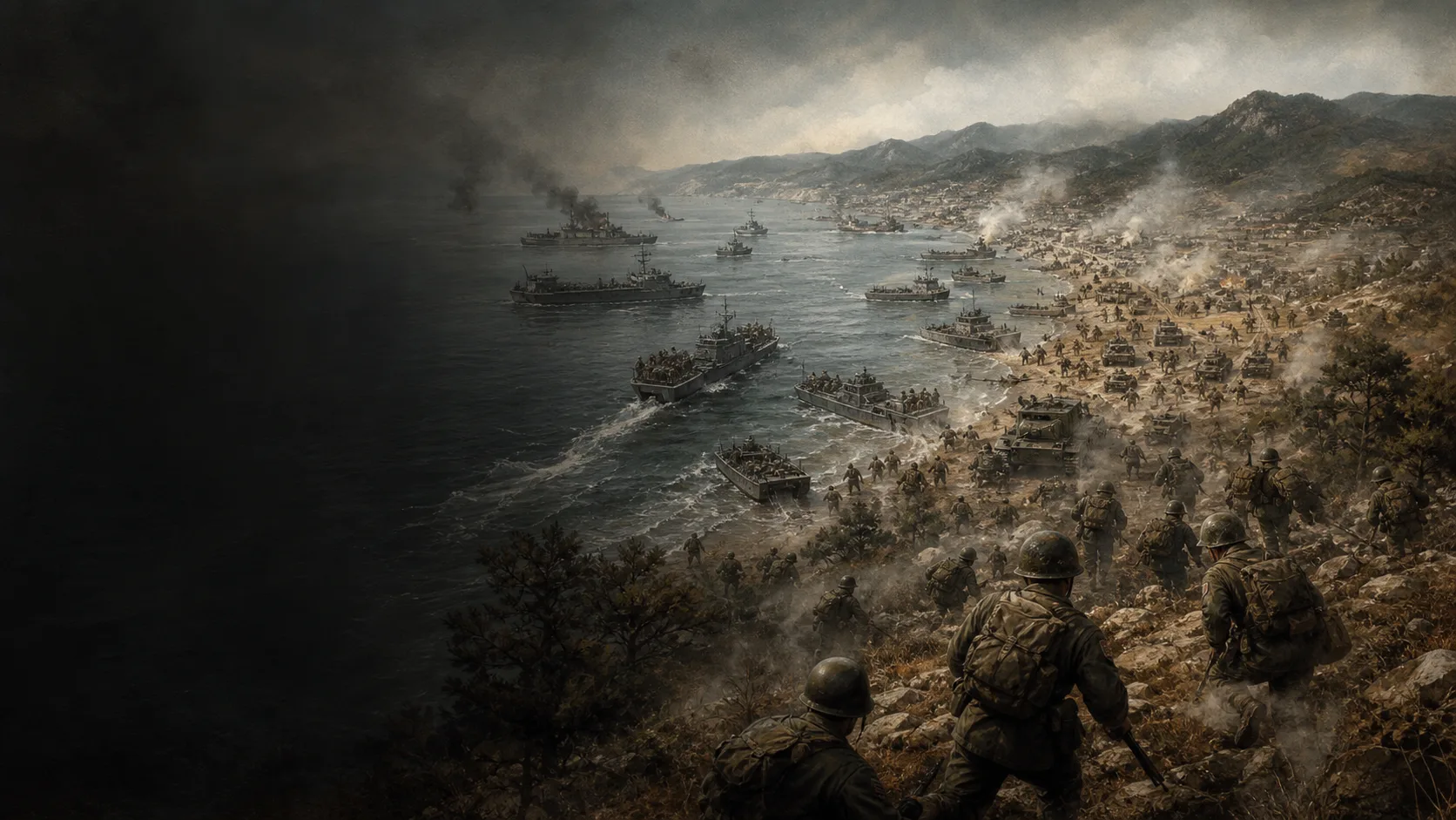
Inchon was an amphibious gamble: tides, channels, and quays made the landing difficult, but those same constraints reduced the likelihood of a prepared defense on the correct axis. MacArthur gambled on surprise and depth rather than frontal strength at the Pusan Perimeter.
The North Korean army has almost driven UN forces into the peninsula’s southeastern corner, but it is stretched around a long front and difficult roads.
Inchon has extreme tides, muddy channels, and seawalls. These obstacles make the operation risky, but also lower the defender’s expectations.
The plan paired an attack in the rear from Inchon with the Eighth Army’s renewed offensive from Pusan. Their effects reinforced one another, but coordination did not mean Inchon forces immediately joined those from Pusan or prevented every North Korean retreat.
Green Beach lies on Wolmi-do, forward of the port. Red Beach required scaling the seawall north of the city. Blue Beach, farther southeast, had different approaches and exits. The map keeps these three objectives separate and does not send every wave to one beach.
Explore
Military history
Chapitres V–VIII, pp.85–119 et 149–164 : préparation, Wolmi-do, deux plages, Ascom, M26 et Kimpo. Cartes pp.99 et154 examinées entières.
Tide-window chronology, regimental roles, objectives and armored support. A retrospective source, not a standalone contemporary report.
View ↗Chapitres sur Inchon et la rupture du périmètre de Pusan
Context, command, and consequences.
Dossier opérationnel sur le débarquement du 15 septembre 1950
Maps of Flying Fish Channel, Wolmi-do, tides, beaches, and the landing sequence.
View ↗South to the Naktong, North to the Yalu, chapitre XXV : préparation, débarquement et section Capture of Kimpo Airfield and Advance to the Han River.
Cross-checking the plan, amphibious constraints, two tides and advance toward Kimpo; distinguishing the beachhead from later fighting.
View ↗Planches après p.68 : H-Hour, Hitting the Beaches, Advance to Force Beachhead Line et Inchon Secured. Quatre planches entières examinées.
Uniforms and helmets, wooden ladders, LCVP silhouette and tanks. Pose and color reconstructed; no individual serial number assigned.
View ↗