1. Home
  2. Gunpowder & Empires
  3. Ottoman–Hungarian Wars
  4. Mohács

Battle

Mohács

29 August 1526

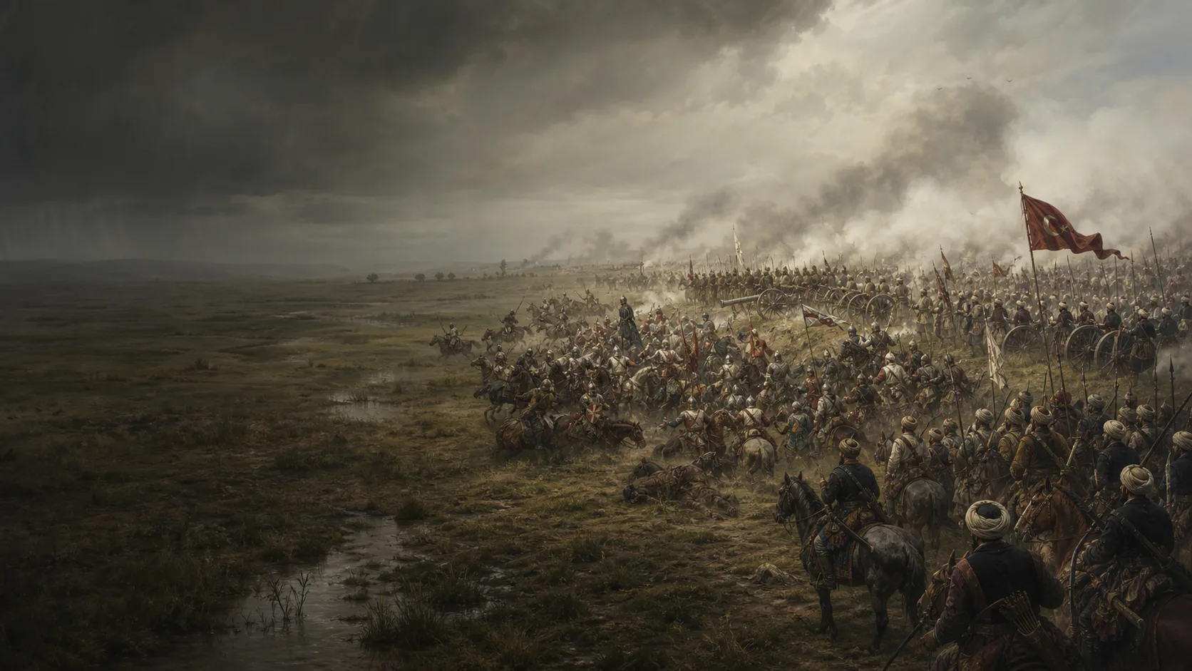
A charge wins the first encounter; the Ottoman centre and terrain absorb its momentum.

Military history

Why does the first Hungarian charge exhaust itself before geography turns withdrawal into flight?

The battlefield lies south of Mohács, west of the Danube branch and on a plain whose wet margins restrict escape. After a long wait, the first Hungarian column attacks forward Ottoman elements and drives them back. Yet this local success carries the cavalry towards the Ottoman centre, firepower and depth; when the line breaks, the marshes and waters of the Danubian plain fragment the withdrawal.

A field oriented by water

Brodericus places the Hungarian line about one mile south of Mohács and halfway to the Danube. The geographical study by the Mohács 1526–2026 project locates the heart of the battle around Sátorhely, north of an ancient channel, with marshland to the east and the Borza floodplain to the west. The map shows these relationships, distinct from a cadastral plan.

Wait, then choose the risk

The Hungarian line forms in two columns, with artillery behind the first and the king in the stationary column. For most of the day, Ottoman elements remain concealed behind the relief; Brodericus describes genuine uncertainty over a ruse, postponement until the next day or an attack on the camp. The decision to fight turns this wait into an attack against a force still partly unseen.

Questions the map leaves open

Földvár and the relief described by Brodericus have not been conclusively identified; the geographical study lists numerous hypotheses and the recent tactical study itself presents a model open to improvement. The coordinates therefore serve to make the sequence legible. Certifying a unit’s position or a supposed Majs–Bátya line lies beyond the dossier’s scope.

Military history

Sources

Contemporary primary source, national libraryIstván Brodarics, Igaz leírás a magyaroknak a törökökkel Mohácsnál vívott csatájáról

Document HTML, sections « A csata előkészületei » et « 1526. augusztus 29. » : deux colonnes, artillerie derrière la première ligne, relief/Földvár, première attaque, retraite dans la vallée et conclusion sur la durée d’environ une heure et demie.

Relative terrain, Hungarian order of battle, waiting, initial attack, fire, rupture, flight and death of Louis II; source read with Kasza’s critical reservations.

View ↗
Specialised edition and translation of the primary testimonyRichard Botlik, The Battle of Mohács in 1526 by István Brodarics

Texte anglais imprimé, pp. 53–67 : camp de Mohács et Krassó (p. 53), ordre des deux colonnes et artillerie (pp. 60–62), relief/Földvár et attente (pp. 62–64), charge (p. 65), feu à courte portée et fuite (pp. 65–67).

Working locators and check of the tactical chain; modern translation consulted alongside the text hosted by the national library.

View ↗
Scholarly source-critical articlePéter Kasza, On the Track of an Edition: New Sources for the Dating of Stephanus Brodericus’ Historia Verissima

Colloquia Maruliana 24 (2015), pp. 193–204, résumé et discussion des pp. 193–195 : statut de seul témoignage direct connu, contexte de rédaction et remise en cause d’une datation automatique à 1527.

Qualification of Brodericus’s testimony and distinction among contemporary account, transmission and later interpretation.

View ↗
Specialised scholarly article on historical geography and cartography, institutional projectNorbert Pap, Péter Gyenizse, Máté Kitanics et Gábor Szalai, The Main Geographical Features of the Scenes of the 1526 Battle of Mohács

Történelmi Szemle LXII (2020) 1, pp. 111–151 : résumé anglais p. 111 ; synthèse géographique pp. 136 et 143–150, notamment position autour de Sátorhely, arrivée ottomane par le sud, ancien chenal, marais oriental, Borza et directions de fuite.

North-southeast orientation, hydrological constraints, cautious location of the battlefield’s core and consequences of terrain for the retreat.

View ↗
Specialised tactical study, scholarly repositoryIstván Nagy-L., The Battle of Mohács in 4D: Additions to the Reconstruction of the Tactics of the Battle

Temetetlen Mohács (2024), article pp. 443–461, abstract anglais p. 462 : modèle espace-temps, position ottomane proposée au sud, analyse des moments de l’affrontement et avertissement qu’une localisation absolument précise reste impossible.

Causal division of the phases, relationship between order of battle and space, and qualification of reconstructed tracks.

View ↗
Official institutional research pageResearch Centre for the Humanities, Research on the Mohács battlefield

Section « Research on the Mohács battlefield », paragraphes sur le programme de recherche, les objectifs de localisation et la distribution des artefacts : distinction entre zone de tirs, affrontements de cavalerie et hypothèses de champ de bataille.

Institutional framework of field research, limits of location claims and caution in drawing inferences from artefacts.

View ↗

Edited by BattlesInMotion.com