1. Home
  2. Antiquity
  3. Greco-Persian Wars
  4. Artemisium

Battle

Artemisium

August or September 480 BC

Hold the maritime gateway while the land barrier still stands

Military history

How does an inferior Greek fleet hold the Persian fleet long enough to cover the general withdrawal?

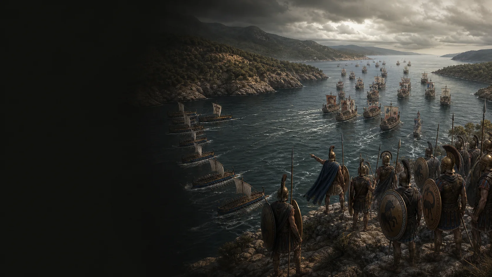
At Artemisium, the Greek fleet does not yet know whether it can stop Xerxes’ naval mass. Its 271 triremes guard northern Euboea while the Allied army closes Thermopylae: if either barrier falls, the other can be turned. The Persians believe they can trap this smaller fleet and detach 200 ships around the island. Scyllias reveals the manoeuvre; a first engagement costs the Persians 30 ships, then a storm destroys the detachment. These setbacks open a window for the Greeks, distinct from victory. On the third day, the Persian crescent attack inflicts heavy damage on both fleets. When news from Thermopylae arrives, holding the anchorage no longer has the same purpose: the Greeks disengage before being pinned to a position that has become useless.

A maritime line tied to a pass

The Greek decision explicitly links Artemisium with Thermopylae: the fleet guards the Euripus and landing places while the army closes the land route. Neither front is autonomous. The reasonable naval objective is therefore to preserve this connection; pursuing annihilation would exceed the available means.

A coalition under Spartan command

Herodotus’s catalogue gives 271 Greek triremes, plus penteconters and other light vessels, under the nominal command of the Spartan Eurybiades. The Athenians provide 127 ships, but the coalition refuses to entrust overall command to Athens; political coordination is part of the tactical problem.

The sea reduces the advantage of numbers

The Persians anchor at Aphetae and detach 200 ships to sail around Euboea and close the Greek retreat. Scyllias warns the Greeks of the detour and damage already inflicted on the Persian fleet. The first evening engagement precedes the storm the following night, which destroys the detachment in the Hollows of Euboea: intelligence, combat and weather form a chain, distinct from a single event.

The coastline and figures remain disputed

Herodotus describes Artemisium as a north-facing beach opposite Aphetae, but his account does not fix the anchorages by the metre. He also gives Persian totals whose traditional and implausible character modern criticism emphasises. The dossier therefore separates the local figure of 200 ships in the detour from the expedition’s overall strength, which it does not map.

Military history

Sources

Ancient text / primary sourceHérodote, Histoires VII.175–176, 183 et 188–192

VII.175–176 pour la décision de tenir ensemble Thermopyles et Artémision, la plage d'Artémision et sa relation au détroit ; VII.183 pour le premier retrait grec vers Chalcis ; VII.188–192 pour le mouillage exposé de la flotte perse à Sépias et les pertes de la tempête.

Land-sea relationship, relational topography of the theatre and Persian naval attrition before the three days of fighting.

View ↗
Ancient text / primary sourceHérodote, Histoires VIII.1–23

VIII.1–3 pour le catalogue des contingents, les 271 trirèmes et Eurybiade ; VIII.4–5 pour le débat sur le départ et l'argent eubéen ; VIII.6–9 pour le détour de 200 navires et l'information de Scyllias ; VIII.10–13 pour la formation grecque, les 30 prises et la tempête ; VIII.14–18 pour les 53 renforts, l'attaque des Ciliciens, la demi-lune, les cinq prises égyptiennes et les lourds dégâts athéniens ; VIII.21–23 pour le message des Thermopyles et le repli.

Greek strength, command, squadron movements, storms, engagements, damage and decision to withdraw.

View ↗
Direct-access scholarly commentaryW. W. How et J. Wells, A Commentary on Herodotus, Book VII

Commentaire à VII.175–176 : interdépendance d'Artémision et des Thermopyles, fonction de garde de l'Euripe et des plages de débarquement, plage nord d'Artémision ; commentaire à VII.184–187 : critique des énormes effectifs perses, transmis sans listes officielles et jugés invraisemblables.

Operational interpretation of the two barriers, topographical caution and criticism of Persian numbers.

View ↗
Scholarly study / naval historyDēmētrios N. Christodoulou, “The Battle of Artemisium: The Naval Component of the Defense of Greece in 480 BCE”, Nausivios Chora 8 (2022)

pp. 60–61 pour l'auteur, son affiliation à l'Académie navale hellénique et l'interprétation conjointe du front terrestre et naval ; pp. 62–63 pour le détour de 200 navires, les 271 puis 53 bâtiments grecs et la séquence des trois journées ; pp. 65–67 pour les contraintes de la trière et la prudence archéologique autour de l'éperon dit d'Artémision.

Check of the naval sequence, Greek orders of magnitude and material limits of a tactical reconstruction.

View ↗
Scholarly encyclopaediaEncyclopaedia Iranica, “Herodotus vii. Xerxes according to Herodotus”

Sections “On the way to central Greece” et “The calculation of Xerxes' forces” : positions grecques simultanées à Thermopyles et Artémision ; caractère poétique, légendaire et sans validité historique des énormes totaux attribués par Hérodote à l'armée et à la flotte de Xerxès.

Modern criticism of Persian strength figures and contextualisation of the two fronts without turning Herodotus’s catalogue into a battle total.

View ↗
Direct-access specialised synthesisLivius, “Battle of Artemisium”

Paragraphes 14–18 pour la défense conjointe d'Artémision et des Thermopyles, le catalogue grec et le détour perse ; paragraphes 19–24 pour la destruction des 200 navires, les deux premières journées et le combat coûteux du troisième jour ; paragraphes 25–27 pour la retraite grecque après Thermopyles.

Modern triangulation of chronology, the indecisive result and causal link between the land defeat and naval withdrawal.

View ↗
Documented cartographic atlasAncient Euboea map

Carte générale de l'Eubée publiée en 2024 ; la notice identifie explicitement DARE et Pleiades pour les lieux et routes, OpenMapTiles et OpenStreetMap pour le fond topographique. Utilisée seulement pour l'orientation de l'île et du littoral, jamais pour placer précisément les escadres.

Check of Euboea’s general orientation and explicit distinction between modern geography and tactical schematic.

View ↗

Edited by BattlesInMotion.com