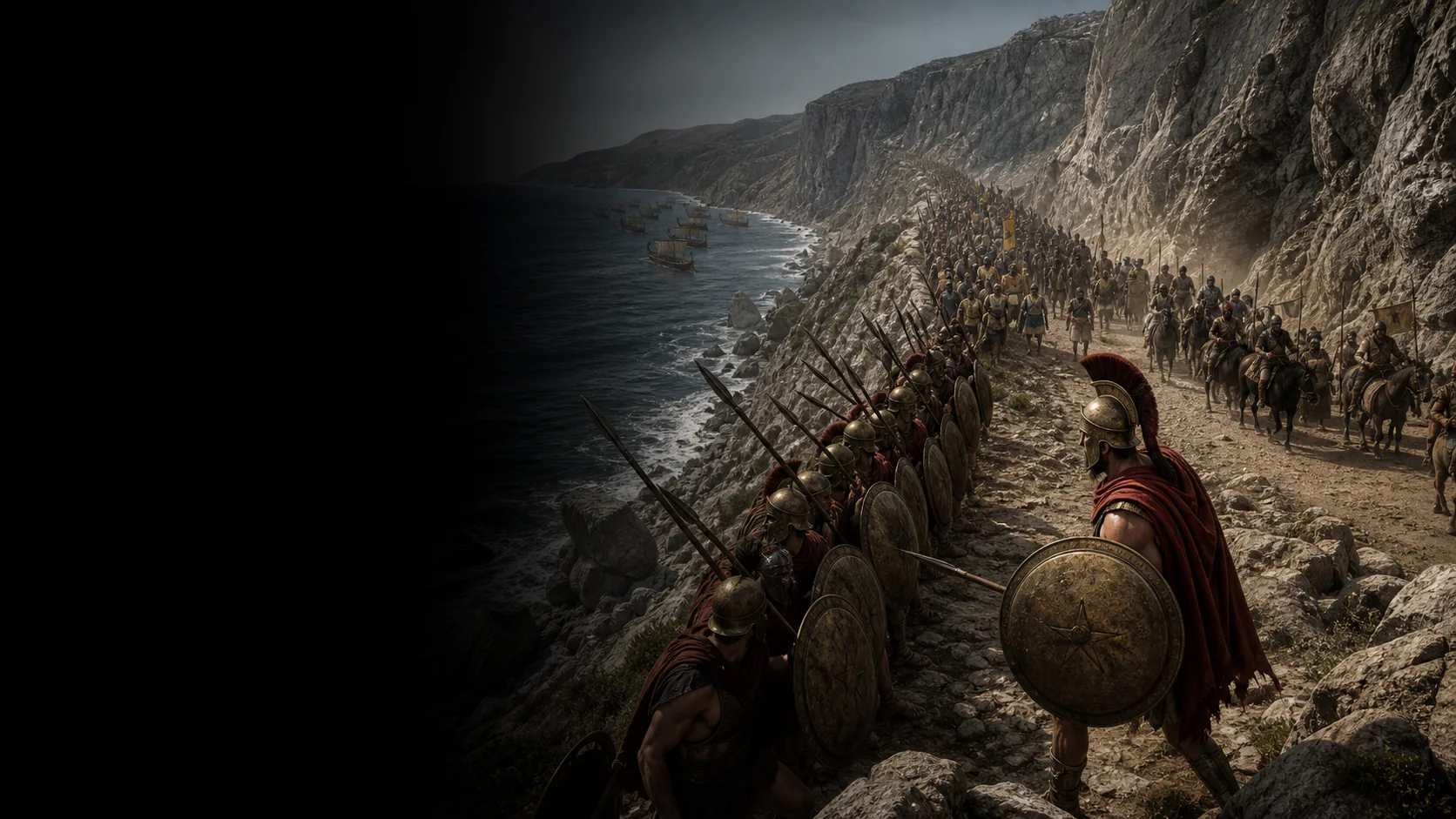
A land and naval defence
The Greeks defend Thermopylae while their fleet holds Artemisium. These two barriers are meant to hinder the advance of Xerxes’ land and naval forces.
Battle
A coalition closes the coastal road and withstands two days of assaults before a night march along Anopaia creates the decisive second front.
Military history
In 480 BC, a Greek coalition commanded by Leonidas blocks the passage between the mountain and the sea. The narrow front limits the Persian numerical advantage during two days of assaults. Hydarnes’s column then takes a mountain path and threatens the rear. Most of the allies withdraw; the rearguard is destroyed.
The Greeks defend Thermopylae while their fleet holds Artemisium. These two barriers are meant to hinder the advance of Xerxes’ land and naval forces.
Leonidas leads an advance force of several thousand Greeks: Spartans, other Peloponnesians, Thespians, Thebans, Phocians, and Locrians. Expected reinforcements are delayed, in part by religious festivals.
At the time, the sea and wetlands narrowed the passage at the foot of the mountain. Sedimentation has since moved the shoreline; the diagram’s dimensions are indicative.
A thousand Phocians guard the path of Anopaea. Once Hydarnes crosses this second route, defending only the corridor is no longer enough.
Explore
Military history
VII.175–177 et VII.201–234 ; surtout 201–206 pour le déploiement, 208–218 pour l'attente et Anopaia, 219–225 pour le retrait et le dernier combat.
Establishing the Thermopylae–Artemisium plan, Greek catalog, wall, four days of waiting, assaults, the roles of Ephialtes and Hydarnes, the council, the presence of Thespians and Thebans, and the encirclement at Kolonos.
View ↗VIII.15 et VIII.21–25 ; surtout VIII.24–25 pour le lien avec Artémision, les morts grecs, les hilotes et les totaux de pertes.
Relating the fall of Thermopylae to the withdrawal from Artemisium and documenting the difficulty of reading bodies and numbers after the battle.
View ↗XI.4–11 ; surtout XI.4.4–7, XI.6–9 pour les forces et le contournement, XI.10.1–4 pour l'attaque nocturne et le fratricide.
Preserving a different ancient tradition on strengths, the final Greek group, the night march, and confusion in the Persian camp without merging it with Herodotus.
View ↗Moralia 865D–867A, §§31–33 ; surtout §32 sur les Thébains et §33 sur la reddition et le marquage.
Documenting the pro-Theban countertradition and explicit criticism of Herodotus’s presentation.
View ↗Moralia 225A–D, « Leonidas, son of Anaxandridas », surtout 225C–D.
Placing ‘Come and take them’ and Leonidas’s retorts within later literary traditions, distinct from contemporary verbatim statements from the battle.
View ↗Section THE BATTLE, paragraphes sur le paysage ancien, le passage d'environ 9 km et jusqu'à 20 m, Artémision, les deux jours et le dernier groupe ; crédits des musées et objets « Bronze arrow heads from the battlefield of Thermopylae, Kolonos Hill » et « Anopaia path ».
Grounding the institutional context, sea–mountain relationship, function of the pass, and physical landmarks at Kolonos and Anopaia; its strength figures remain estimates, not primary facts.
View ↗1980, pp.15–23 ; abstract sur l'exigence d'une route assez spacieuse, la route de Vardates et la correspondance des temps de marche avec Hérodote.
Supporting the night march as a formed-unit maneuver and the lack of certainty over Anopaia’s modern route.
View ↗2010, pp.241–253 ; abstract et reconstruction paléogéographique fondée sur données géomorphologiques, stratigraphiques, paléontologiques, forages et tomographie.
Establishing the alteration of the Spercheios delta and the presence of a freshwater marsh in the central gate at the time of the battle.
View ↗2015, pp.127–144 ; abstract p.127 et pp.134–135 (PDF pp.7–8) sur le mur phocidien comme circuit ouvert possible et la mission des Phocidiens.
Bounding the reconstruction of the wall and proposing an alternative reading of the Phocian guard; these proposals remain identified as specialist interpretations.
View ↗1998, pp.365–379 ; surtout pp.368–375 et 376–378 (PDF pp.3–14).
Comparing Herodotus with Ephorus traditions transmitted by Diodorus and Plutarch, especially the night attack, Thebans, and final battle.
View ↗2024, pp.50–66 ; abstract et discussion de la relation entre Hérodote VII.202, VIII.25, les hilotes et les chiffres de morts.
Avoiding reduction of the dead to named hoplites or treatment of the totals in VIII.25 as a transparent census.
View ↗Section « Exploring place in the Classical world », paragraphes sur l'absence de cartes classiques, les liens Hestia et le déplacement du rivage par sédimentation.
Framing the reading of maps and the distinction between the ancient landscape described in the texts and the modern landscape; explicitly used as an institutional cartographic source.
View ↗