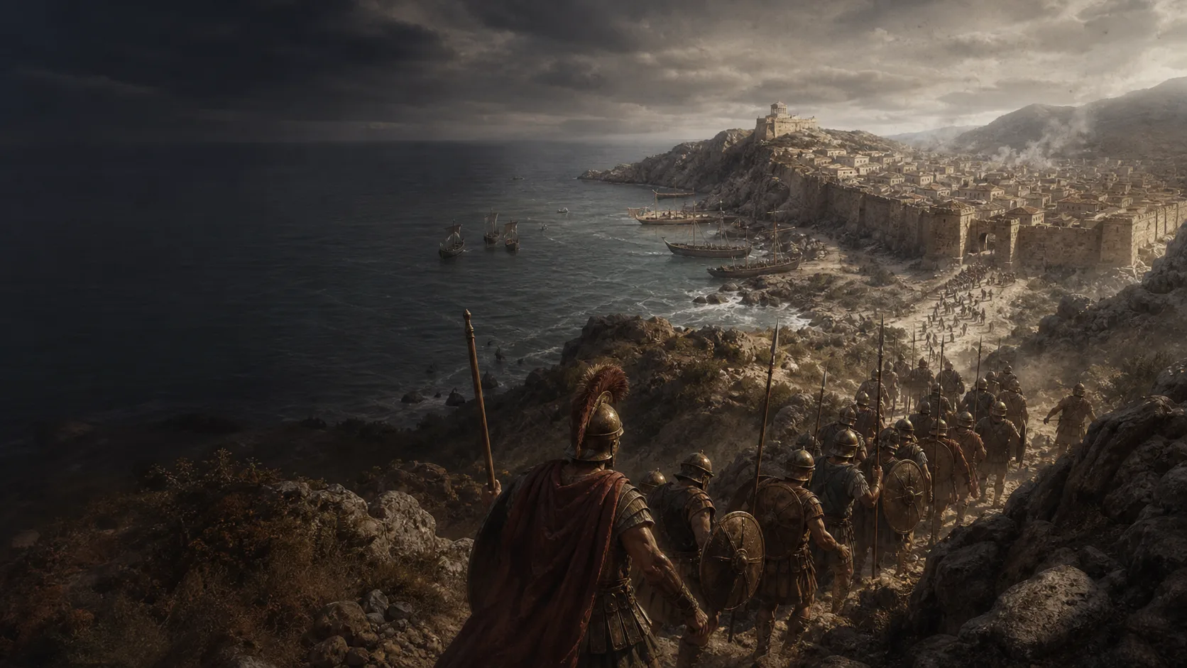
A target struck before the Punic forces can unite
The Punic armies are dispersed. Scipio chooses their main harbour base to seize its resources before they can relieve it.
Battle
Scipio combines intelligence, pressure at the isthmus, a lagoon crossing, and an attack on the gates.
Military history
In 209 BC, Scipio strikes Carthago Nova, a vital Punic base in Spain, before relief can arrive. His army attacks by the isthmus while Laelius threatens the harbour. After a first failure, five hundred men cross the lagoon and reach a less-guarded wall. Their entry allows the Romans to take the city, its stores, and its hostages.
The Punic armies are dispersed. Scipio chooses their main harbour base to seize its resources before they can relieve it.
The isthmus restricts the land approach; the sea and lagoon protect the other sides. The ancient shoreline and the orientation of the accounts remain disputed.
According to Polybius, fishermen tell Scipio where the water is shallow. The accounts link the crossing to a fall in the water level; modern studies dispute its exact mechanism.
Capture gives Rome a harbor, ships, stores, weapons, and hostages from several peoples. Livy’s figures for captives and craftsmen should not be converted into a modern casualty account.
Explore
Military history
X.7–11 : cible, forces et terrain ; X.12–15 : sortie, assauts, lagune et citadelle ; X.16–18 : ressources et otages.
Principal source for the tactical sequence, ancient topography, strengths attributed to the Roman force, and capture of the citadel.
View ↗XXVI.42.1–10 : marche de Scipion, arrivée coordonnée avec Laelius, camp romain au nord, baie, mer à l’est et au sud, lagune occidentale et isthme ; XXVI.43.1–4 : déploiement de la flotte et fonction opérative de la ville.
Parallel check on the geographical setting, simultaneous arrival of the forces, northern camp, and harbor function of Carthago Nova.
View ↗XXVI.45.1–3 : hauteur des murs et échelles qui cassent ; XXVI.45.5–9 : pêcheurs, baisse de la marée, vent du nord et traversée de la lagune ; XXVI.46.1–8 : mur moins élevé, portes battues des deux côtés, panique et entrée romaine ; XXVI.46.8–10 : prise de la hauteur orientale et reddition de Mago.
Comparison with Polybius on the first escalade, ebb, wind, crossing, gates, and capture of the citadel.
View ↗XXVI.47.1–10 : environ 10 000 hommes libres prisonniers, environ 2 000 artisans affectés au service public, otages, armes, munitions, navires et stocks saisis dans la ville et le port.
Immediate material and human consequences reported by Livy, with caution about categories of captives and losses.
View ↗The Classical Quarterly 68/2 (2018), pp. 458–474 ; extrait pp. 458–459 sur la péninsule, la mer au sud, la lagune et le canal ; notes 1–5 sur Polybe, le canal et les difficultés de la description ; notes 11–14 sur la marée, le vent, l’orientation de Tite-Live et l’hypothèse de Lovejoy ; notes 21 et 23 sur la fonction possible de l’attaque matinale et le déplacement des défenseurs du mur lagunaire.
Specialist study of tide, wind, Polybius–Livy divergences, and competing reconstructions of the assaulted faces.
View ↗The Holocene 28/6 (2018), résumé, lignes 29–34 : 16 carottes, datations AAR et 14C, reconstruction du paléoenvironnement ; géographie de Carthago Nova différente de Polybe au temps de Scipion ; proposition d’une attaque par le sud-ouest et rejet d’un courant de reflux rapide et profond.
Archaeological challenge to the lagoon, paleogeography, and water mechanism; the map retains this dispute rather than resolving it artificially.
View ↗Notice CARTHAGO NOVA, paragraphes 203–207 : capture de 209 av. J.-C., péninsule, lagune au nord, baie au sud, canal entre les deux et collines ; paragraphe 207 et suite : approche, isthme, hauteur orientale et dernier réduit ; la notice est une synthèse topographique, à distinguer d’un relevé archéologique contemporain.
Specialist topographical checks and a guard against mapping more precisely than the sources; locating the heights, isthmus, harbor, and final redoubt.
View ↗§02 Introducción Histórica, paragraphes 1–2 : Polybe X.10.1–13, cinq élévations et colline septentrionale de Cronos ; §03 Historia de la investigación, paragraphes 2–3 : limites de la documentation archéologique et nécessité de rester schématique.
Official checks on relief and cartographic caution, notably avoiding a fixed exact position for the hills and citadel.
View ↗Résumé de l’article, paragraphes 1–3 : Carthago Nova au sud-est de l’Hispanie, péninsule bien protégée ouverte à la terre à l’est et cinq collines ; paragraphe 5 : conquête par Scipion en 209 av. J.-C. et relation entre le site, les hauteurs et le port.
Modern institutional comparison of the peninsula, hills, and relationship between the urban site and harbor.
View ↗Université de Cadix, notice du chapitre, résumé, lignes 3–5 et 63–65 : livre publié en 2017, pp. 435–474 ; paléotopographie, analyses géochimiques, évolution de la ligne de côte et des fonds, articulation des ports entre le IIIe siècle av. J.-C. et l’Antiquité tardive.
Institutional framework for distinguishing reconstructed harbor topography from the map’s teaching coordinates.
View ↗