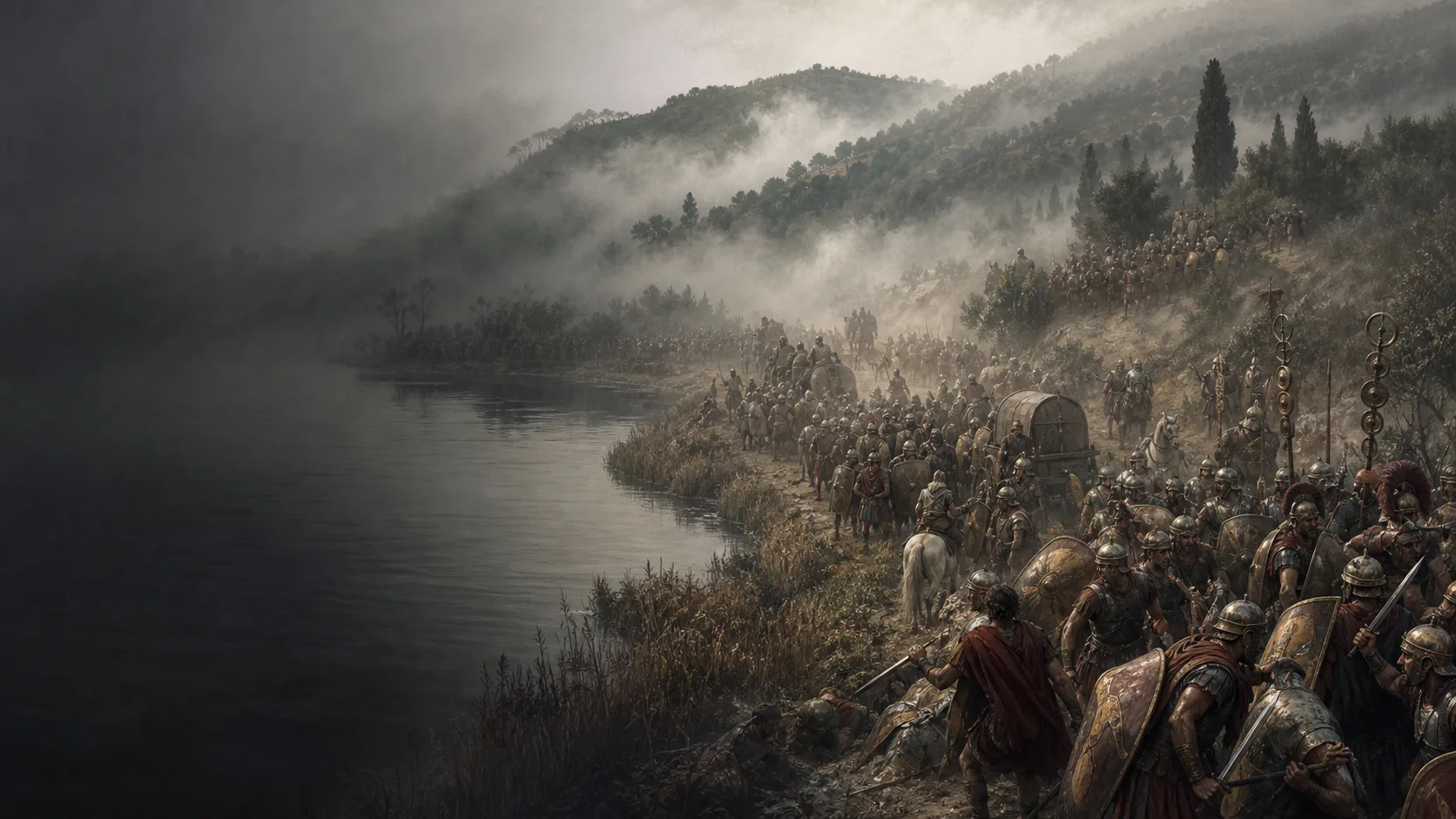
Before the consuls join forces
After the Trebia, Hannibal ravages Rome’s allied territories. Flaminius pursues him before joining the other consular army.
Battle
A Roman column enters a concealed corridor; the vanguard’s breakout remains contained
Military history
In 217 BC, Hannibal attacks Flaminius’s army as it marches between Lake Trasimene and the hills. Mist and converging attacks prevent the Romans from forming a coherent front. Flaminius is killed. About 6,000 men escape the main battle before being pursued and captured the next day.
After the Trebia, Hannibal ravages Rome’s allied territories. Flaminius pursues him before joining the other consular army.
The lake bounds the corridor to the south, and slopes overlook it from the north. Hannibal deploys his troops before the attack; mist further limits visibility. The exact site remains disputed.
Destroying most of the army does not settle the fate of the vanguard. Its breakthrough and surrender the following day must be distinguished from the initial ambush.
Explore
Military history
III.80–86, surtout III.83–85 pour le dispositif, le combat et la sortie des 6 000 ; III.86 pour la suite immédiate
Flaminius drawn out, choice of passage, Carthaginian deployment, converging attack, divergent losses and delayed capture of the vanguard.
View ↗XXII.3–8, surtout XXII.4–6 pour la brume, le combat et Flaminius ; XXII.7–8 pour les pertes, les 6 000, Centenius et Fabius
Version of the march without scouts, duration of about three hours, death of Flaminius, breakout and surrender the next day, and Roman consequences.
View ↗Extrait public de l’entrée : paragraphes sur l’ordre de grandeur des armées, le passage de la rive nord, la disposition des contingents, les pertes et le désaccord topographique
Modern orders of magnitude, synthesis of the ambush and bounds of the debate among proposed locations.
View ↗Frontmatter, pp. ix–x ; carte 2, p. xv ; notes annoncées à Livy 22.4.1–7.5, avec sites et positions marqués d’un point d’interrogation
Editorial framework for reading Livy, use of Lazenby’s maps and cautious visualisation of the two locations and Carthaginian groups.
View ↗Chapitre 4, pp. 67–83 ; notice et résumé publics du Research Portal de l’université de St Andrews
Methodological caution: Polybius’s account reproduces a cognitive experience of battle and is insufficient to produce a modern map by the metre.
View ↗25 août 2022, article sur la baisse du lac : obus attribués au retrait allemand de 1944 et repère examiné comme moderne ou contemporain par la Soprintendenza
Bound the use of recent finds: they do not provide archaeological proof of the location of the battle in 217 BCE.
View ↗