1. Home
  2. Gunpowder & Empires
  3. American War of Independence
  4. Chesapeake

Battle

Chesapeake

5 September 1781

Hold the bay; the opposing fleet remains intact

Military history

How does a naval engagement indecisive in losses close the British window for relieving Yorktown?

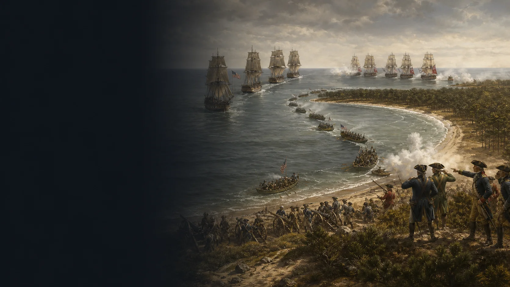
Off the entrance to the Chesapeake, de Grasse’s French squadron leaves its anchorage to prevent Graves from reaching the bay. The two lines exchange real but partial fire: the operational result comes later, when de Grasse joins Barras, retains access to the bay and deprives the British of any opportunity to relieve Cornwallis.

The bay is the operational objective

Cornwallis is at Yorktown, near the end of the peninsula; a relief fleet must therefore reach the Chesapeake and secure lasting access. The battle is fought off the capes, but the issue is the ability to pass through this maritime gateway.

Two squadrons, different force counts

French documentation describes 24 ships of the line remaining offshore after four vessels were detached; Graves’s British list counts 19 ships of the line. The National Park Service rounds the French deployment to 28 ships of the line for the operation as a whole. These figures are therefore not interchangeable.

The entrance constrains manoeuvre

Cape Charles borders the entrance to the northeast and Cape Henry to the southwest, while the Middle Ground narrows the channel north of the route passing Cape Henry. The lines are not placed on a modern base map: the map preserves only the relationships among anchorage, channel, shoal and the exit to the Atlantic.

Gunfire prepares a decision achieved through manoeuvre

Successive signals, wind and current mean that the British van and centre engage more effectively than the rear. When contact breaks, both fleets are damaged; the decision comes from the French junction with Barras and the British inability to reopen the bay.

Military history

Sources

Edition of primary documents and contemporary accountsThe Graves Papers and Other Documents Relating to the Battle of the Chesapeake

Introduction, pp. lxxi–lxxiv ; rapport de Graves, pp. 62–66 ; London’s Journal, pp. 164–170 ; relation française, Appendix IV, pp. 253–256.

Chronology of the sighting, departure, formation of the lines, signals, opening and end of fire, forces, losses, dispersion, return to the bay and arrival of Barras; French passages are treated as a situated perspective.

View ↗
Institutional synthesis (National Park Service)Battle of the Capes — Colonial National Historical Park

Section « Battle of the Capes », paragraphes commençant par « On September 5 », « Once British Admiral Rodney » et « The British fleet reached » ; mise à jour du 15 décembre 2024.

Yorktown–Chesapeake strategic framework, overall forces, surprise at anchor, partial engagement, losses, de Grasse’s return, Barras’s arrival and Graves’s withdrawal.

View ↗
Published primary source (George Washington Papers / National Archives)George Washington’s Diary, 5 September 1781

Entrée du 5 septembre et notes éditoriales 1–3 ; édition source The Diaries of George Washington, vol. 3, pp. 417–419.

Operational importance of the Chesapeake, stated strength of de Grasse, Barras’s movement from Newport with artillery and supplies, and urgency of transport to Yorktown.

View ↗
Scholarly notice and summary of a specialised monographSir Samuel Hood and the Battle of the Chesapeake

Résumé général et table des matières : chap. 7 « The Chesapeake: The Forces Gather », chap. 8 « The Chesapeake: The Battle Joined » et chap. 9 « The World Turned Upside Down » ; DOI 10.5744/florida/9780813033136.001.0001.

Historiographical context for missed opportunities and Hood’s responsibility; this attribution remains a disputed interpretation, and no tactical detail rests solely on the accessible summary.

View ↗
Institutional historical map (Library of Congress)A Representation, of the sea fight, on the 5th of Sepr. 1781

Notice LOC, rubriques Title, Created/Published et Notes ; identifiant LCCN 74692129 ; échelle indiquée d'environ 1:444 000 et vue de l'engagement à l'entrée de la Chesapeake.

Scale, geographical vocabulary and caution regarding the relative position of the lines; the contemporary map is not used to invent coordinates for each ship.

View ↗
Museum collection and contemporary drawingBattle of Virginia Capes, 5 September 1781

Notice de l'objet PAH4075, description et détails de l'objet : dessin vers 1781, créateur non identifié, lecture des caps, du Middle Ground, du feu à distance et du repli français comme interprétation contemporaine.

Cross-check of maritime scale and uncertainties in reading the shoreline, shoal and firing distance; visual interpretations are not treated as measurements.

View ↗

Edited by BattlesInMotion.com