1. Home
  2. Gunpowder & Empires
  3. American War of Independence
  4. Siege of Yorktown

Battle

Siege of Yorktown

28 September — 19 October 1781

Block · invest · advance · secure surrender

Military history

How did control of the Chesapeake and the trenches strip Cornwallis of his options for relief, defense and escape?

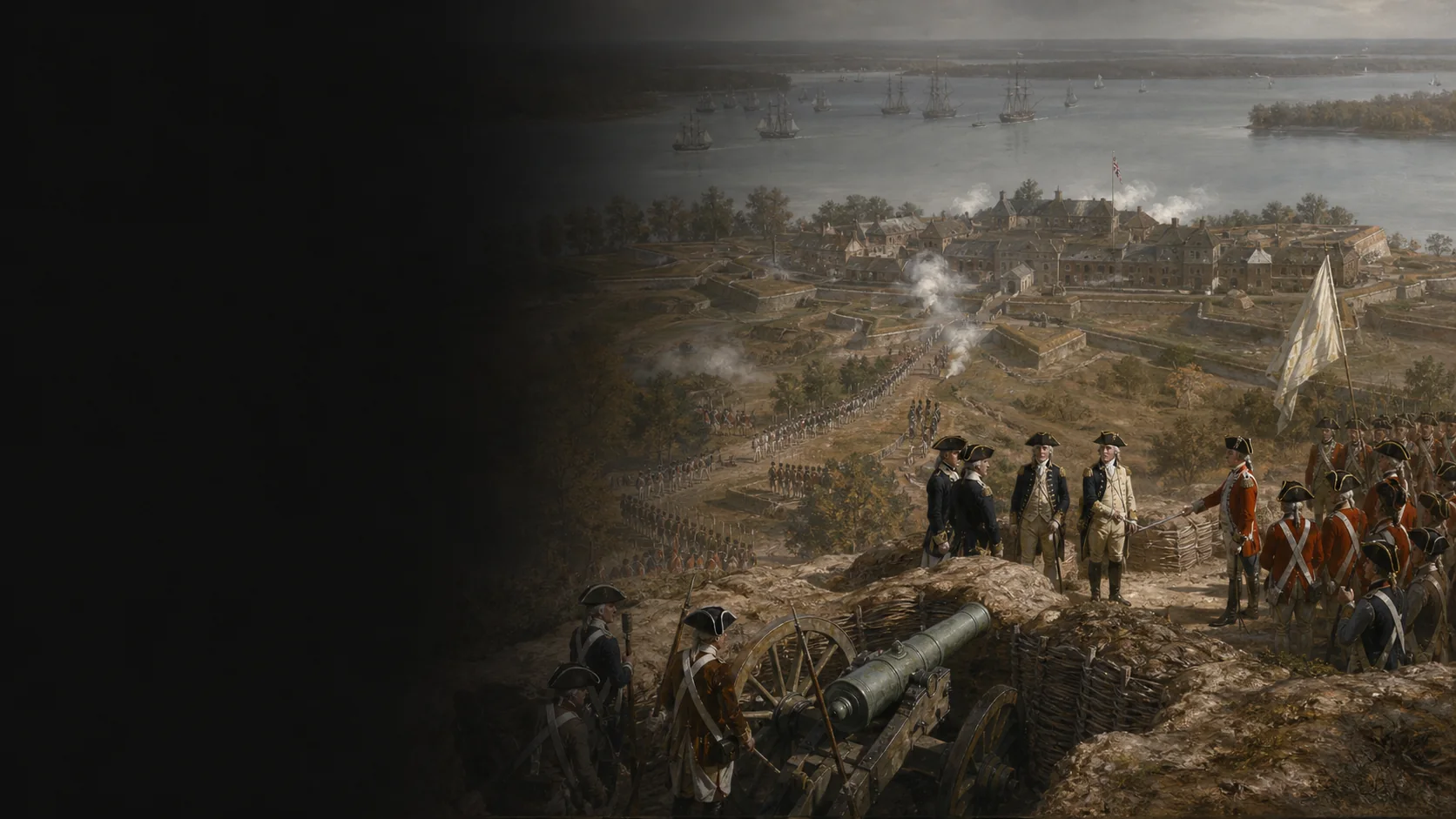
French control of the Chesapeake gives Washington’s and Rochambeau’s armies time to besiege Yorktown and Gloucester. Their trenches bring the batteries progressively closer. Two separate assaults capture Redoubts 9 and 10; the captured works then strengthen the bombardment. Cornwallis first attempts a sortie against the guns, then an evacuation by river; neither restores his freedom of action. Both posts surrender on 19 October. The victory transforms the war, but peace will wait until 1783.

A port born of a disputed chain of orders

In July, Clinton requests a protected naval position in Virginia; after reconnaissance, Cornwallis chooses and fortifies Yorktown and Gloucester. Their later controversy apportions responsibility for the trap differently. The dossier therefore retains the order to create a base and the actual choice of both posts without treating one commander's retrospective justification as a neutral explanation.

The blockade precedes the siege map

The Battle of the Capes and de Grasse’s continued presence in the Chesapeake precede 28 September. They prevent rapid relief by sea and give the Allies time to transport artillery, tools and men to the siege works. The fleet remains visible as a constraint downstream, rather than being placed beneath Yorktown’s walls.

One town, an opposing post and two terrain barriers

Yorktown stands on the south bank of the York River; Gloucester Point is opposite, to the north. Yorktown Creek protects the town's western side, while Wormley Creek and its marshes close the east. The Allies place their French sector in the west and their American sector in the east, toward the river and Redoubts 9 and 10.

Strengths from different moments

Syntheses place the Allied total between more than 16,000 and about 17,600 men, and the initial garrison between roughly 7,500 and 8,300. On 17 October, Cornwallis reports only about 3,200 fit for duty at Yorktown and 600 at Gloucester. These figures change date and denominator; they are neither merged nor converted into regimental precision on the map.

Military history

Sources

Primary source, journal edited by Founders Online and the National ArchivesGeorge Washington Papers — September 1781

Entrée du 28 septembre : départ de Williamsburg, séparation de la colonne française sur la route directe et de la colonne américaine vers Murford's Bridge ; entrée du 29 : Américains à l'est de Beaver Dam Creek, reconnaissance et choix des approches ; entrée du 30 et notes éditoriales : ouvrages extérieurs et préparation du siège.

Investment march, initial axes, Beaver Dam Creek, reconnaissance, logistics and geography of the approach.

View ↗
Primary source, journal edited by Founders Online and the National ArchivesGeorge Washington Papers — October 1781

Entrées des 6–19 octobre et notes éditoriales : batteries, seconde parallèle, deux assauts, armement des redoutes, sortie, évacuation manquée, négociations et reddition. La distance 500–600 yards de la première ligne vient de la note citant Tilghman.

Principal chronology, reported distances, assault sectors, six guns spiked, sixteen boats, negotiations and Allied losses.

View ↗
British primary source, contemporary justificatory reportCharles Cornwallis to Henry Clinton, 20 October 1781

Paragraphes 2–5, lignes 68–76 : attente du secours, retrait du 29 septembre, première et seconde parallèles, redoutes ; paragraphes 6–11, lignes 77–88 : sortie, onze pièces revendiquées, seize bateaux, tempête et décision de capituler ; paragraphe sur les effectifs aptes, lignes 92–94.

British viewpoint, decision chain, condition of works and ammunition, failed evacuation, fit-for-duty strengths and contradiction over the spiked guns.

View ↗
French primary source, published campaign journalCount William de Deux-Ponts — My Campaigns in America

Page imprimée 138 (PDF p. 160) : combat du 3 octobre et renforts de marines à Gloucester ; pages imprimées 142–148 (PDF pp. 164–170) : interruption de la seconde parallèle, ordre de la colonne française, assauts simultanés, abatis, prise de la redoute 9 et pertes rapportées.

French perspective on Gloucester and direct check of Deux-Ponts's conduct of the column against Redoubt 9.

View ↗
Institutional primary source, text of the articlesArticles of Capitulation between Washington and Cornwallis, 19 October 1781

Préambule et article 1 : reddition des garnisons de York et Gloucester et des forces navales ; article 2 : artillerie et magasins ; article 3 : remise des redoutes à midi, sortie de York à 14 h et de Gloucester à 15 h ; articles 4–14 pour les conditions complémentaires.

Exact object, schedule and local reach of capitulation; distinction among land troops, navy, works and stores.

View ↗
National Park Service institutional chronologyChronology of the Siege of Yorktown

Entrées datées du 28–30 septembre puis des 3, 6, 9, 11–12, 14, 16–17, 18 et 19 octobre, section chronologique complète du siège.

Checks the boundaries and sequence of the siege phases.

View ↗
Modern National Park Service institutional synthesisHistory of the Siege — Yorktown Battlefield

Section centrale : ordre britannique de rechercher un port protégé et choix de Yorktown ; paragraphes sur de Grasse et le blocus ; estimations de 17 600 alliés et 8 300 Britanniques ; paragraphes finaux sur les parallèles, les redoutes, la reddition et le traité de 1783.

Strategic framework, control of the Chesapeake, orders of magnitude, general chronology and limit of the ‘end of the war’ shortcut.

View ↗
Specialist National Park Service institutional monographCharles E. Hatch Jr. — Yorktown and the Siege of 1781

Pages imprimées 7–9, sections The British Move to Yorktown et Strategy of the Siege ; pp. 18–20, Investment et British Position ; pp. 22–27, Gloucester Side, First Allied Siege Line, Second Allied Siege Line, Capture of Redoubts Nos. 9 and 10 et Last Days ; carte NPS 1956 aux pp. 30–31.

North-up topography, Yorktown Creek to the west, Wormley Creek to the east, French/American sectors, Gloucester, redoubts, works, surrender and force/loss estimates.

View ↗
Specialist institutional study, U.S. Army Center of Military HistoryYorktown Redoubt No. 10 — Army Heritage Trail

Sections The Siege of Yorktown et The Assault on Redoubts 9 and 10, lignes 63–76 : fonction des deux ouvrages contre la seconde ligne, préparation, deux partis d'assaut d'environ 400 hommes, armes non chargées, sapeurs, abatis, fossé et incorporation aux travaux.

Mechanics of assault and fortification; final chronology and the French chain are checked against Washington, Deux-Ponts and Hatch.

View ↗
Contemporary map held by the Library of CongressSebastian Bauman — Plan of the Investment of York and Gloucester

Notice Library of Congress, lignes 33–74 : plan levé et publié en 1782, échelle approximative 1:14 400, relief par hachures, références aux lignes britanniques et explication des opérations américaines et françaises ; fac-similé haute définition inspecté pour les rives, ouvrages, camps, routes et parallèles.

Contemporary cartographic check of relative positions of Yorktown, Gloucester, redoubts, lines and camps. Using it as a photograph of every phase would exceed the documentary use adopted here.

View ↗
Specialist academic article, abstract and bibliographic reference consultedRichard Middleton — The Clinton–Cornwallis Controversy and Responsibility for the British Surrender at Yorktown

History, vol. 98, no 331, juillet 2013, pp. 370–389, DOI 10.1111/1468-229X.12014 ; abstract : trois chefs d'accusation de Clinton, réponse fondée sur les ordres navals, l'extension de l'effort en Virginie et le retard des instructions.

Historiographical framework for the responsibility controversy; no tactical detail is derived from the abstract alone.

View ↗

Edited by BattlesInMotion.com