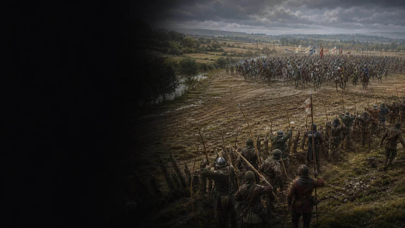
How did the failure of an order to halt turn the French pursuit into successive assaults against an ordered army?
On 26 August 1346, Edward III faces Philip VI’s army near Crécy. His men-at-arms fight on foot, supported by archers and troops in depth. The French arrive without being able to coordinate their attacks. Their failure leaves the field to the English, who then march towards Calais.
The campaign permits several readings of the plan
The English expedition landed in Normandy, crossed the Seine at Poissy, then the Somme at Blanquetaque. Michael de Northburgh's letter then places the army near the Forest of Crécy on 24 and 25 August. Ayton explicitly contrasts two readings: battle prepared within a strategy of provocation, or a largely improvised operation that became dangerous. The dossier does not infer the initial intention from the outcome.
Two distinct battlefields
The traditional site lies between Wadicourt and Crécy; Livingston proposes another field farther south. The map emphasizes the relationships between the forces and the terrain without fixing their positions on a modern plan.
The order to wait disintegrates
Jean le Bel reports that Philip VI accepted advice to halt the army until the following day, but those in front refused to retreat while those behind continued forward. The crossbowmen then opened fire, fell back, and were compressed by the men-at-arms. Froissart later elaborated this sequence; his rain, sun, and harrow remain details to check, not measurements.
The field, then Calais
Northburgh, writing on 4 September, attests the defeat, the English night under arms, another clash on the 27th, and the march toward Calais. He counted 1,542 French men-at-arms killed; Jean le Bel gives far higher totals with different scopes. These figures are neither merged nor turned into a modern return.
Late primary source — medieval chronicleJean Froissart, Chroniques : extrait de la bataille de Crécy
Section « The Battle of Crecy (1346) », paragraphes commençant par « The English, who were in three battles » puis « When the Genoese were assembled together » et « The young prince of Wales ».
Three English divisions, French arrival, Genoese, rainstorm and sun, volleys, the prince's fighting, and the support episode; all treated as a later tradition.
Institutional digital-edition projectThe Online Froissart, édition numérique des Chroniques
Page « About the project » accessible depuis l'accueil: plus de 150 manuscrits conservés, plusieurs versions, transcriptions, traductions et témoins comparables.
Provenance and plurality of Froissart's tradition; basis for not treating one translation as a unique tactical survey.
Contemporary primary source — letter of 4 September 1346Michael de Northburgh, lettre sur la campagne et la bataille
Section XXII, lettre datée du 4 septembre 1346 d'après Robert d'Avesbury; paragraphes « On Thursday night », « On the Saturday morning », « The battle began » et compte de 1 542 hommes d'armes.
Bivouac on 24–25 August, four approaching French divisions, duration of the fighting, English night under arms, account of the 27th, contemporary count, and march toward Calais.
Near-contemporary primary source — medieval chronicleJean le Bel, Chronique, volume II
Édition Polain, volume II, pp. 99–108 dans l'OCR direct: conseil d'attendre pp. 100–101; Génois et compression pp. 101–103; trois batailles anglaises et combat pp. 104–107; lendemain p. 108.
Failure of the order to halt, Genoese recoil, compressed column, English order, the king's depth, fighting until night, and the variant of communes the next day.
Specialist monographAndrew Ayton et Philip Preston, The Battle of Crécy, 1346
Aperçu PDF: PDF pp. 16–20 / imprimé pp. 3–7 pour les lectures stratégiques; PDF p. 28 / imprimé p. 15 pour 14 000–15 000 débarqués; PDF p. 33 / imprimé p. 20 pour Calais; PDF p. 41 / imprimé p. 28 pour les deux morts anglais identifiables.
Competing intentions, scope of English strength, documentary limit on losses, and operational link between Crécy and Calais.
Direct academic chapterPhilip Preston, The Traditional Battlefield of Crécy
Chapitre pp. 109–138, surtout pp. 109–110: site proche de Crécy attesté, emplacement précis ancré par la tradition, sources sans précision et archéologie trop limitée pour confirmer les lignes.
Status of the traditional site, documentary limits, and refusal to turn modern topography into certain positions.
Academic chapter — publisher abstract consultedMichael Livingston, The Location of the Battle of Crécy
Résumé éditeur du chapitre pp. 415–438: Cassini comme première fixation définitive du site traditionnel et thèse de l'auteur plaçant le champ 5,5 km au sud.
Existence and exact scope of the alternative hypothesis; it is presented as the author's thesis. Claiming a consensus would exceed its documentary use here.
Academic chapter — publisher abstract consultedKelly DeVries et Michael Livingston, Froissart's Herce and Crécy
Résumé éditeur du chapitre pp. 469–476: Froissart écrit environ un demi-siècle après la bataille et le sens de son terme technique herce reste problématique.
Dating of Froissart, ambiguity of the harrow, and refusal to draw an archer geometry as observed fact.
Academic chapter — publisher abstract consultedKelly DeVries et Niccolò Capponi, The Genoese Crossbowmen at Crécy
Résumé éditeur du chapitre pp. 441–446: avant-garde génoise, reflux dans la cavalerie alliée et traditions ultérieures de trahison ou de lâcheté qui déplacent la responsabilité.
Role of the vanguard and caution against a moral narrative of Genoese betrayal or cowardice.
Institutional cartographic plan — municipal archivesArchives et patrimoine d'Abbeville, Plan de Crécy, Wadicourt et environs
Notice des collections, résultats 466–482: plan relatif à la bataille du samedi 26 août 1346, levé en juillet 1818 par Hilaire Picard, conservé à Crécy-en-Ponthieu, thème cartes et plans.
Modern relationship among Crécy, Wadicourt, and surroundings in the cartographic tradition; never direct evidence of the 1346 positions.
University cartographic referenceUniversity of South Florida, Crecy, August 26, 1346
Notice Maps ETC, lignes 4–20: carte de la bataille, lignes anglaise et française, eaux intérieures, Maye, Fontaine, Estrées et Wadicourt; dérivée de l'Encyclopaedia Britannica 1910, vol. 7, p. 389.
Check of place names and their relationships in the traditional model; no military coordinate is reused as a medieval observation.