1. Home
  2. Gunpowder & Empires
  3. Napoleonic Wars
  4. Wagram

Battle

Wagram

5 — 6 July 1809

Cross the Danube, extend the line, mass the fire

Military history

How did Napoleon turn an extended bridgehead into local superiority against a longer Austrian line?

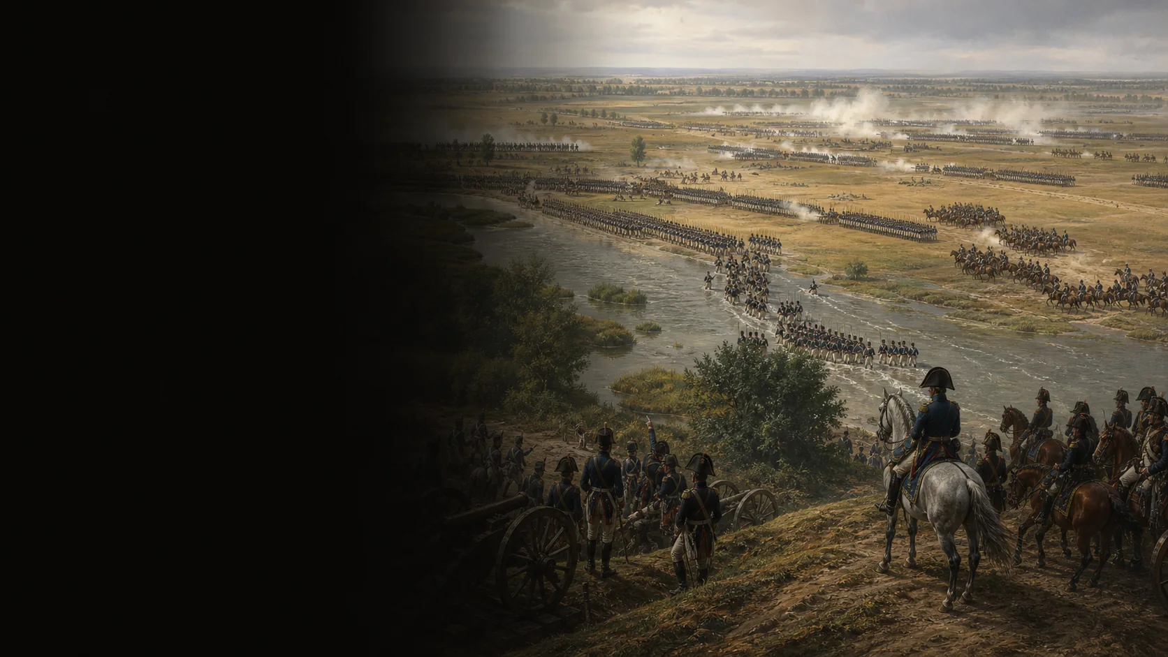
After the French failure at Aspern-Essling, Lobau Island is fortified and connected to the north bank by several bridges. During the night of 4–5 July, the French cross the Danube via the Stadtler Arm, drive back the Austrian advance guard, and deploy several corps on the Marchfeld. The evening attacks on Baumersdorf and Wagram do not break the line. On 6 July, Charles attacks in turn, but his corps do not enter action simultaneously; Napoleon shifts Masséna, forms a grand battery, and allows Davout to press against Markgrafneusiedl. The Austrian withdrawal is an operational decision made under pressure, not the complete destruction of the army.

The problem to solve

Napoleon must turn a Danube crossing into a winnable battle before Archduke John arrives. Charles, outnumbered according to the strength returns retained by the syntheses, can offset that inferiority with a line resting on the Russbach, villages, and converging attacks.

The constraint of the Marchfeld

The Danube and the channels around Lobau delay deployment and make the bridges essential. To the north, the Russbach and its escarpment provide the Austrian army with a line of fire and villages; between these supports, a long curve exposes gaps and transmission delays.

The causal chain

The crossing produces a bridgehead; deployment widens it but opens a gap between Masséna and Oudinot; the attacks of 5 July fail; the Austrian offensive of 6 July exploits the crisis toward Aspern and Aderklaa without synchronizing every corps; finally, the grand battery, Masséna’s movement, and Davout’s pressure make the Austrian line too costly to maintain.

Questions the numbers leave open

Strengths change depending on whether sources count the army present, Lobau reserves, reinforcements arriving during the night, or only troops engaged. Artillery totals and casualties diverge even more; the map therefore retains formations and their functions, not false numerical or geometric precision.

Military history

Sources

Contemporary primary source, campaign correspondenceLettre de l’archiduc Charles à Albert, 9 juillet 1809

Transcription de la lettre datée du 9 juillet : franchissement et positions des 4–5 juillet, supériorité française en artillerie, plan autrichien, combats du 6 juillet et retraite (sections datées, lignes 325–357 de la page consultée).

Checking the sequence from the Danube bank, the Russbach deployment, Charles’s orders, Archduke John’s delay, and the retreat from a situated Austrian viewpoint.

View ↗
Edited primary corpus, institutional catalog entryCorrespondance générale de Napoléon Bonaparte, tome 9 : Wagram

Notice du tome 9, Wagram février 1809–février 1810 : corpus de lettres, appendices sur l’armée, cartes et chronologie annoncés dans la notice (lignes 54–89).

Identifying the edited primary corpus to consult for French decisions and orders; the catalog page does not replace reading each letter.

View ↗
Specialist institutional historical dossierLa bataille de Wagram, 5–6 juillet 1809

Introduction du dossier : conséquences d’Aspern-Essling, organisation de la Lobau, ponts et franchissement oriental du Danube (paragraphes d’ouverture, lignes 57–66 de la page consultée).

Bounding the operational context before contact and the role of the bridges, Lobau, and the mass committed.

View ↗
Specialist study published by the Fondation NapoléonThe Battle of Wagram, Ian Castle

Sections “Return to Marchfeld”, “Advance Across Marchfeld”, “The French Assault on the Wagram”, “6 July 1809: The Second Day”, “Davout Storms Markgrafneusiedl” et “The End in Sight” (lignes 65–95, 97–124, 125–150, 151–174).

Reconstructing corps movements, evening attacks, the crises at Aderklaa and Aspern, the grand battery, Markgrafneusiedl, Macdonald, and the withdrawal.

View ↗
Specialist institutional chronologyThe Battle of Wagram, timeline

Entrées des 4, 5 et 6 juillet : fortification de Lobau, franchissement nocturne, ligne du Russbach, attaques du soir, plan de Charles, arrivée tardive de Jean et retrait (lignes 90–106).

Checking the temporal order of the three shifts: bridgehead, fighting on 5 July, and the offensive and withdrawal on 6 July.

View ↗
Specialist military-history synthesisBattle of Wagram, 5–6 July 1809

Sections préparatifs, terrain, franchissement, premier soir, plans du 6 juillet, attaque autrichienne, grande batterie, Markgrafneusiedl et carré de Macdonald (paragraphes 28–60, 64–79, 87–137).

Cross-checking orders of battle, corps axes, terrain constraints, and the tactical limits of Macdonald’s column.

View ↗
Specialist order of battle and military bibliographyWagram, 5–6 July 1809 : order of battle

Présentation de la bataille et ordre de bataille : franchissement à Gross-Enzersdorf, arc Leopoldau–Markgrafneusiedl, effectifs de Chandler et retard de l’archiduc Jean (lignes 20–29 de la page consultée).

Checking commanders, corps distribution, and stated reserves without converting the order of battle into exact positions.

View ↗
Institutional heritage entry, later depictionBataille de Wagram le 6 juillet 1809 à six heures du matin, Siméon Fort

Notice INV 26571 : titre, auteur et commentaire sur Napoléon devant les hauteurs de Russbach, l’attaque de Charles et la plaine du Danube (lignes 64–108 ; index Wagram/Napoléon, lignes 132–141).

Checking the broad visual relationship among the Danube, Russbach heights, and lines at daybreak; the depiction is not used as evidence for detailed placement.

View ↗
Specialist institutional historical mapBattle of Wagram: lines of attack

Page cartographique titrée “Battle of Wagram: lines of attack” : légende de l’image et notice de l’illustration (lignes 54–65). Utilisée pour le rapport entre la courbe française, le Russbach et les axes de corps, sans reprendre une géométrie au pixel près.

Checking the operational scale and convergence of axes before drawing a simplified mobile map.

View ↗
Specialist heritage map, historical atlasThe Marchfeld plain, site of the Battle of Wagram

Notice cartographique de l’atlas de Thiers, 1859 : titre, site du Marchfeld et datation de l’image (lignes 54–72).

Bounding the open Marchfeld setting and avoiding treatment of Wagram as an urban battle or abstract land template.

View ↗

Edited by BattlesInMotion.com