1. Home
  2. World Wars
  3. Second World War
  4. Imphal–Kohima

Battle

Imphal–Kohima

8 March – 18 July 1944

Two sieges linked by a road become a battle of supply.

Military history

How do two nearly encircled positions hold long enough to turn an offensive into a logistical defeat?

Imphal and Kohima do not form a single tactical battlefield: they are two nodes separated by mountains, a road, and a few tracks. Japan seeks to cut access to Imphal, take Kohima to close the link with Dimapur, and win before its columns run out of food. The Allied defence accepts local encirclement, holds the airfields, and flies in reinforcements and supplies; when the road reopens, the Japanese offensive no longer has the means to resume.

Two linked objectives

Imphal concentrates IV Corps, the airfields, and the depots of the Manipur plain; Kohima commands the road to Dimapur and Assam. Taking Kohima is therefore intended to prevent the relief of Imphal, while taking Imphal is meant to provide the stocks needed to continue the offensive.

Holding a box

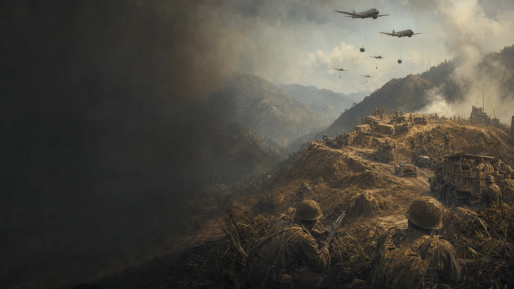
Allied command no longer treats a cut road as an automatic order to retreat. Contracted positions can be supplied by air, retain their firepower, and await a relief column; this method is decisive at Kohima as it is on the Imphal plain.

An offensive on credit

U-Go assumes a rapid breakthrough, capture of Allied resources, and advance through terrain in which artillery, vehicles, and food move badly. Once the depots remain uncaptured and the monsoon sets in, each day of siege increases the Japanese deficit.

Military history

Sources

Post-war operational history based on archives and testimonyHeadquarters, United States Army, Japan, Burma Operations Record: 15th Army Operations in Imphal Area and Withdrawal to Northern Burma, Japanese Monograph No. 134

Sections 1–4, édition révisée, pp. 1–191 : organisation de la 15e armée, plan de U-Go, opérations d’Imphal et repli ; récit d’après-guerre fondé sur dossiers et témoignages.

Japanese plan, organisation, logic of Operation U-Go, failure of the advance, and withdrawal; used with caution because this is a later account based on files and officers' recollections.

View ↗
Institutional official historyS.N. Prasad, K.D. Bhargava et P.N. Khera, The Reconquest of Burma, volume I: June 1942–June 1944

Ch. XI, The Storm Breaks, p. 174 ; ch. XII–XIII, The Struggle for Imphal, pp. 215–267 ; ch. XIV–XV, The Siege and Relief of Kohima, pp. 268–312 ; appendices 3, 4 et 6, pp. 409–421 pour l’ordre de bataille de Kohima et les appréciations du IV Corps.

Operational sequence, Allied units, actions around Imphal and Kohima, relief axes, and order-of-battle control.

View ↗
Institutional overviewNational Army Museum, Battles of Imphal and Kohima

Sections Japanese offensive, Armies and commanders, Kohima surrounded, Reinforcements, Relief of Imphal, Logistics, Casualties et Consequences : objectifs, commandements, dates du secours, pont aérien, pertes et effets stratégiques.

Operational framework, named formations, air supply, opening of the road on 22 June, orders of magnitude for the forces, and consequences.

View ↗
Institutional synthesis and battlefield mappingRoyal Armouries, The Battles of Imphal and Kohima, 1944

Sections Defence of Sangshak and Jessami, Battle of Kohima, The Battle of Imphal et The End of Operation U-Go ; carte de Kohima et repères de Garrison Hill, Zubza, Nungshigum, Palel et Tamu.

Delaying actions, Kohima's relief, sectors of the Imphal plain, and local topographical references.

View ↗
Digitised contemporary source and archival recordJapan Center for Asian Historical Records, timeline entry: Japanese forces began their advance on Imphal, 8 March 1944

Notice du 8 mars 1944 : objectif de couper la route de ravitaillement alliée vers la Chine, coopération avec l’INA, documents contemporains Shashin Shuho nos. 315, 317 et 323, et mention du rôle de l’insuffisance des approvisionnements dans l’échec.

Objectives declared in contemporary Japanese propaganda and archives; claims of victory are checked against operational and Allied accounts.

View ↗
Institutional cartographic sourceNational Army Museum, Map of India and Burma, 1944

Carte de théâtre associée au dossier Battles of Imphal and Kohima ; utilisée pour contrôler la relation spatiale entre Dimapur, Kohima, Imphal et la frontière birmane, sans reprendre sa géométrie comme une mesure exacte.

Scale and orientation of the operational map, relationship between the two focal points, and the Dimapur–Kohima–Imphal axis.

View ↗

Edited by BattlesInMotion.com